


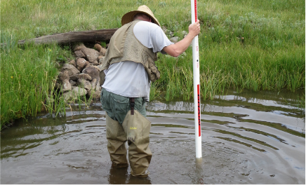
Observations help us evaluate stream habitat and its ability to support healthy aquatic communities. Throughout the sample reach, crews record stream depth, assess how swiftly the stream is flowing, and inventory potential fish habitat, like logs. Crews also assess the size of rocks and pebbles in the stream, record the amount of overhanging vegetation, and identify signs of human activity.
How are these data used?
Physical Indicators
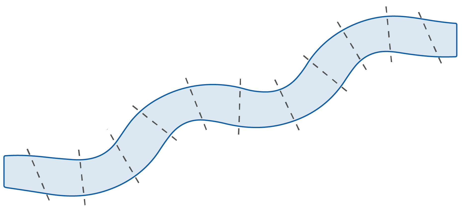
Where are habitat observations made?
throughout the sample
reach.
To learn more, see the
NRSA Field Operations Manual.