


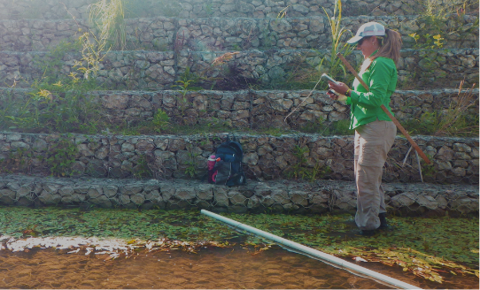
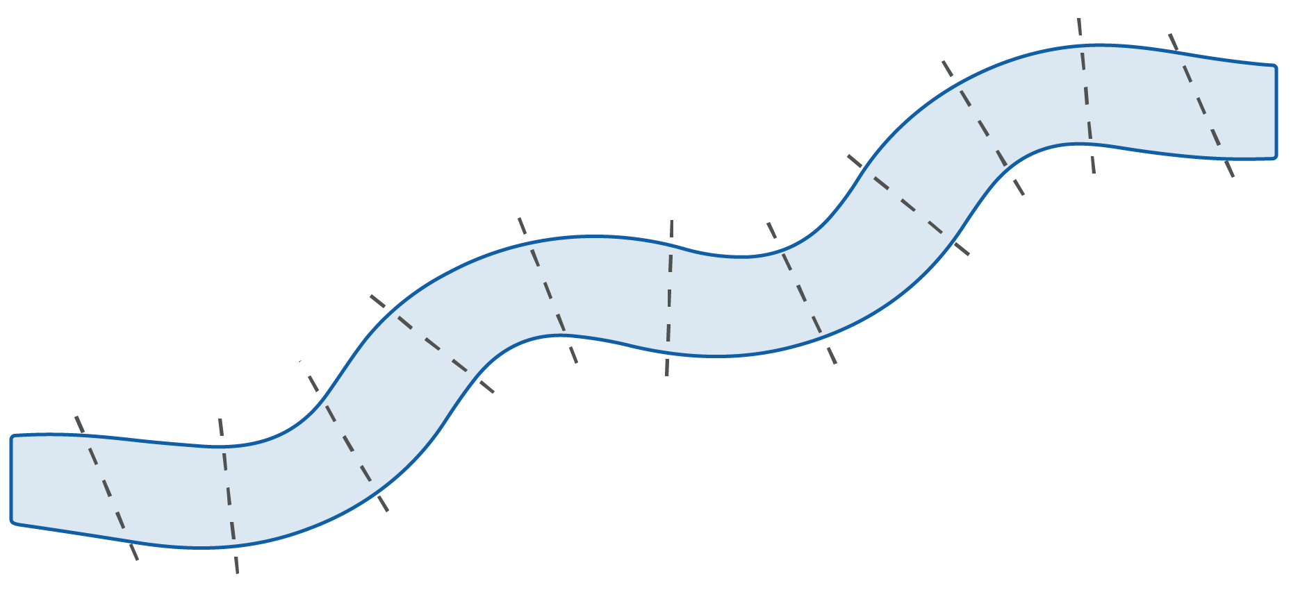
Observations of stream habitat can tell us about its health. Throughout the sample reach, crews record the depth, assess how swiftly the stream is flowing, and count submerged branches and logs. At 11 equally spaced transects (cross-sections), crews also evaluate the size of rocks and pebbles in the stream, record the amount of overhanging vegetation, and identify signs of human activity.
How are these data used?
Observations are used to determine values for four physical habitat indicators.
Physical Indicators
Riparian disturbance is a measure of the vulnerability of rivers and streams to activities such as tree removal, road or building construction, agriculture and waste disposal. These activities can contribute to excess sediment and nutrient levels, alteration of native plant communities, in-stream habitat degradation, and other disturbances.
Where is riparian disturbance observed?
of disturbance throughout
the sample reach.
To learn more, see the
NRSA Field Operations Manual.